

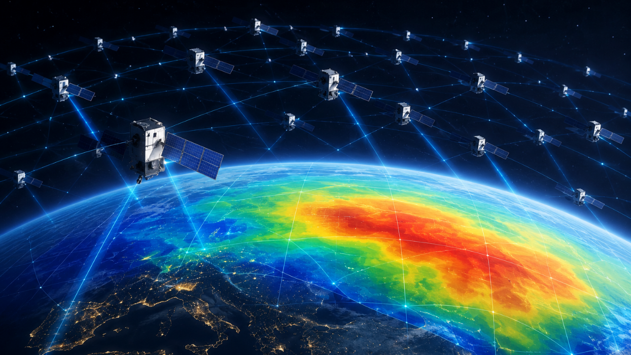
Starlink satellites are now helping scientists map Earth’s upper atmosphere. Researchers used orbital data from Starlink to estimate thermosphere density. This method creates a two-dimensional map of atmospheric density variations. The findings offer a new way to study this difficult-to-observe region. Commercial satellite data is becoming an unexpected scientific resource.

Trending
- ‘Judges are not gods, won’t get every judgment right’: Outgoing SC Judge Sanjay Karol in farewell speech
- Former world champion boxer Zolani Tete shot dead outisde home
- Meta sued by former manager who claims he was fired over immigration letter
- 18-year-old builds AI model to predict tumors’ response to chemotherapy
- Scientists realised 1,200 Starlink satellites could double as a giant scanner for Earth’s atmosphere
- ‘From defence to offence’: Iran warns of pre-emptive strikes as Trump ramps up threats
- Sajjan Kumar ‘role model’ post: Sikh leaders protest outside Rahul’s Delhi home, demand Congress apology
- Big crisis brewing in Rawalpindi? Pakistan deploys army for ‘sensitive duties’