
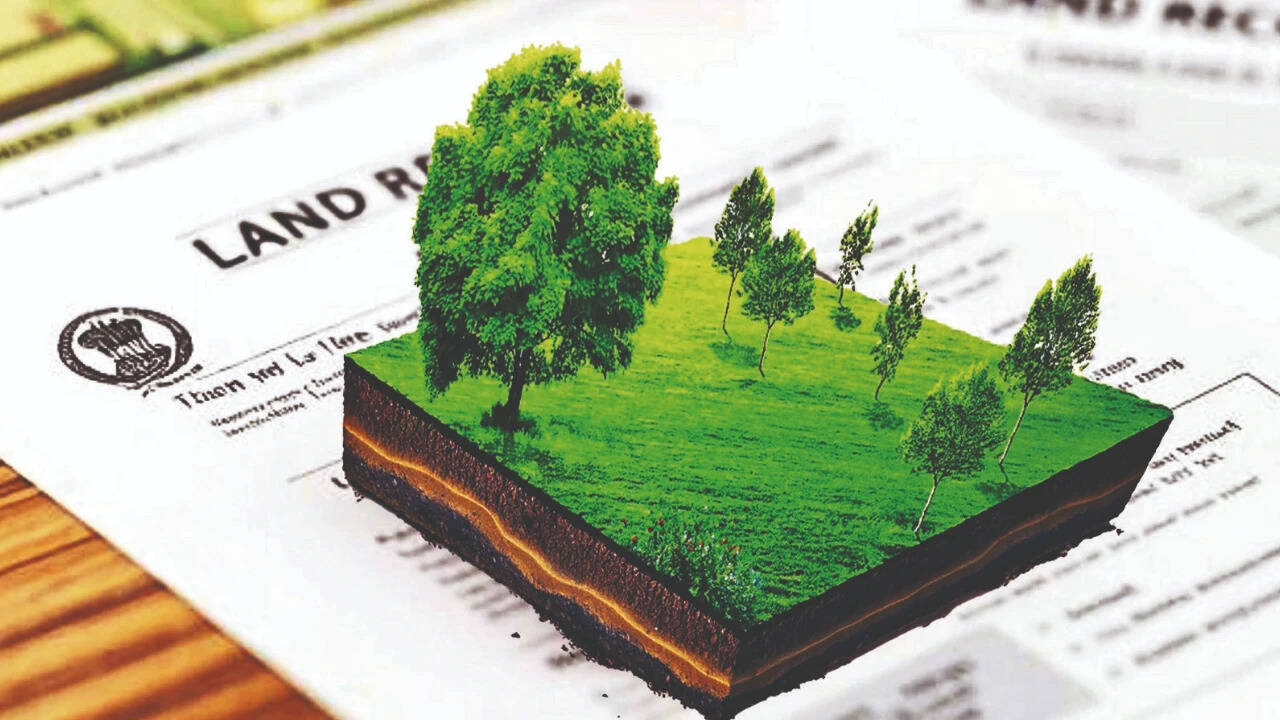
India is digitizing land records and creating unique digital identities for parcels. Over ninety-nine percent of land records are now computerized and georeferenced. A fourteen-digit identification number, Bhu-Aadhaar, is assigned to over forty crore land parcels. Drones are utilized for precise mapping of urban areas under the NAKSHA program. This digital land architecture aims to foster inclusive growth and formal credit access. India is digitizing land records and creating unique digital identities for parcels. Over ninety-nine percent of land records are now computerized and georeferenced. A fourteen-digit identification number, Bhu-Aadhaar, is assigned to over forty crore land parcels. Drones are utilized for precise mapping of urban areas under the NAKSHA program. This digital land architecture aims to foster inclusive growth and formal credit access.
Trending
- Did US military warn Hegseth over Iran war strain before latest escalation? What report claims
- Chimpanzees keep throwing rocks at same trees for a decade, scientists probe why
- ‘Wholewheat’ but only 19.5% atta: CCPA orders McVitie’s to change packaging
- SC dismisses plea seeking mandatory ethanol content disclosure at petrol pumps, fuel bills
- Vaibhav Sooryavanshi scripts history, breaks all-time Duleep Trophy record
- Meet Kim Ji-on, a 12-year-old South Korean student who invented a life-saving device that helps people escape deadly fires
- A California family bought a $1 historic house and moved it onto their burned property
- Washington watershed sees chum salmon surge as river restoration nears completion

Digital land records: How maps, drones and Bhu-Aadhaar are changing property identity
 By
By

Add A Comment