
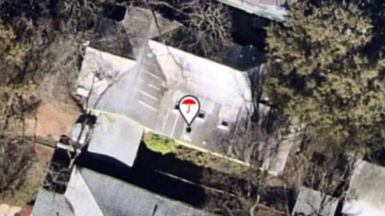
Texas homeowners are increasingly finding that insurance companies are using aerial images of their properties to assess risks and decide whether to renew policies. Insurers use satellite, aircraft and third-party imagery, with some companies using AI to analyse roofs and identify possible damage. While insurers say the technology is faster and more efficient, consumer advocates warn that outdated or inaccurate images can lead to wrong decisions. Texas homeowners are increasingly finding that insurance companies are using aerial images of their properties to assess risks and decide whether to renew policies. Insurers use satellite, aircraft and third-party imagery, with some companies using AI to analyse roofs and identify possible damage. While insurers say the technology is faster and more efficient, consumer advocates warn that outdated or inaccurate images can lead to wrong decisions.
Trending
- Austin homeowner pays $3,000 to trim trees after insurance warning
- Massachusetts cranberry farm restored to wetland; thousands of fish return
- 80th Independence Day: In a 1st, Vande Mataram to be sung from ramparts of Red Fort
- One man spent decades transforming a barren Kenyan quarry into a wildlife sanctuary
- Esports World Cup: Two Indian teams reach PUBG Mobile Grand Finals
- Who Is EDP445’s girlfriend? Her age and role in ‘The Sick Mind of EDP445’ explained
- ‘Need conducive environment’: Bangladesh PM on India ties as Hasina eyes return
- ‘It wasn’t a rock’: Roman shipwreck over 2,000 years old discovered off Sicily

Austin homeowner pays $3,000 to trim trees after insurance warning
 By
By

Add A Comment