
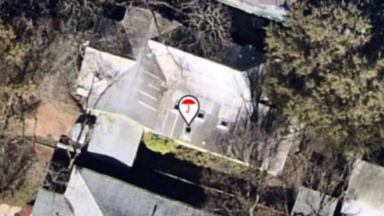
Texas homeowners are increasingly finding that insurance companies are using aerial images of their properties to assess risks and decide whether to renew policies. Insurers use satellite, aircraft and third-party imagery, with some companies using AI to analyse roofs and identify possible damage. While insurers say the technology is faster and more efficient, consumer advocates warn that outdated or inaccurate images can lead to wrong decisions. Texas homeowners are increasingly finding that insurance companies are using aerial images of their properties to assess risks and decide whether to renew policies. Insurers use satellite, aircraft and third-party imagery, with some companies using AI to analyse roofs and identify possible damage. While insurers say the technology is faster and more efficient, consumer advocates warn that outdated or inaccurate images can lead to wrong decisions.
Trending
- Wendy’s worker wanted to quit, bosses funded his college; now he’s heading to Yale
- 7.4 magnitude earthquake shakes Colombia, causes injuries and significant damage
- Trial by spin with a hint of reverse: Inside India’s final net session in Colombo
- Jharkhand protesters defy tear gas, lathi charge to enter assembly premises – top developments
- Evening news wrap: Congress sets 3 non-negotiables for Parliament; Vande Mataram to be sung from Red Fort ramparts & more
- ‘Use of force against peaceful protesters wrong’: Rahul Gandhi condemns police action on Jharkhand students
- Crackdown on students, PM Modi’s apology, Ram temple theft: Congress sets 3 non-negotiables for Parliament
- RSS coordination meeting of 32 outfits to be held in Andhra Pradesh from August 19-21

Austin homeowner pays $3,000 to trim trees after insurance warning
 By
By

Add A Comment