
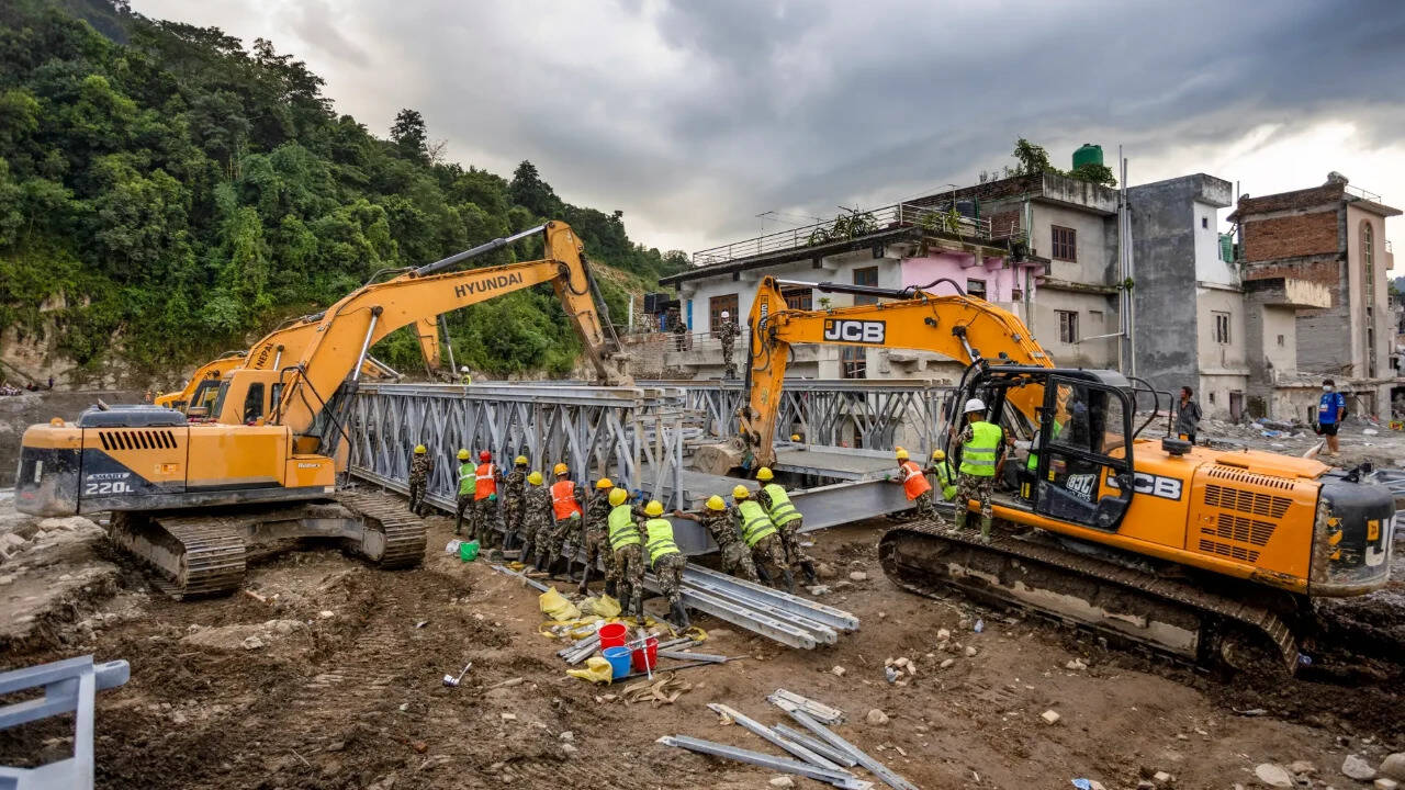
Researchers described it as a cascading disaster rather than conventional flood. Around 2 sq km of rock wall and glacier ice collapsed from Langtang Lirung at about 5,150 metres, plunging around 1,400 metres before turning into a debris flood. Water, rock, ice and sediment then travelled around 22km to Rasuwagadhi in seven minutes, leaving downstream settlements with almost no warning. Researchers described it as a cascading disaster rather than conventional flood. Around 2 sq km of rock wall and glacier ice collapsed from Langtang Lirung at about 5,150 metres, plunging around 1,400 metres before turning into a debris flood. Water, rock, ice and sediment then travelled around 22km to Rasuwagadhi in seven minutes, leaving downstream settlements with almost no warning.
Trending
- $25 piano hid 100 baseball cards; Babe Ruth rookie later sold for $130,054
- ‘Rewards for justice’: US offers $15M for info on Iran’s secretive financial networks
- Amid Tata group power struggle, Shapoor Mistry backs RBI’s call on Tata Sons listing
- Ex Union minister Ravneet Singh Bittu’s convoy attacked in Punjab
- Whale Post-Mortem Behaviour: Study details mother’s vigil; scientists urge further observations
- “Process being carried out in accordance with prescribed rules”: Uttarakhand Govt on proposed procurement of 1320 MW of thermal power
- Watch: Songs, car rally as men back accused in Gurgaon woman biker hit-and-run case
- California homeowner’s 53-year-old backyard pool faces removal over easement

‘Human-caused warming helped prime slope for deadly Nepal-Tibet flood’
 By
By

Add A Comment